 Monthly payment from
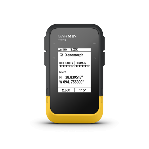
TAP INTO ADVENTURE

SWIPE AND ZOOM ON A BRIGHT 3-INCH TOUCHSCREEN

PRELOADED MAPS FOR ROADS AND TRAILS

LONG BATTERY LIFE OF UP TO 130 HOURS IN GPS MODE

PLAN AND REVIEW TRIPS WITH THE GARMIN EXPLORE SMARTPHONE APP

BUILT TOUGH (MIL-STD 810) AND WEATHER-RESISTANT (IP67)

OPTION TO PURCHASE AN OUTDOOR MAPS+ PLAN FOR PREMIUM MAPPING
WHAT YOU’LL LOVE
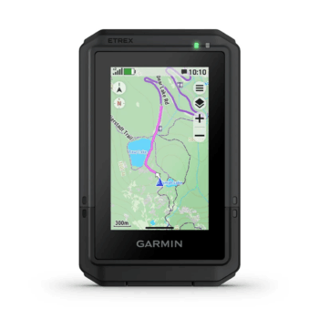
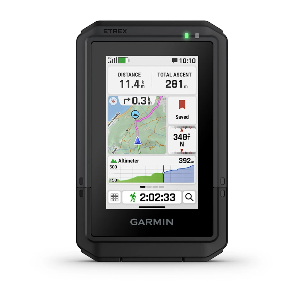
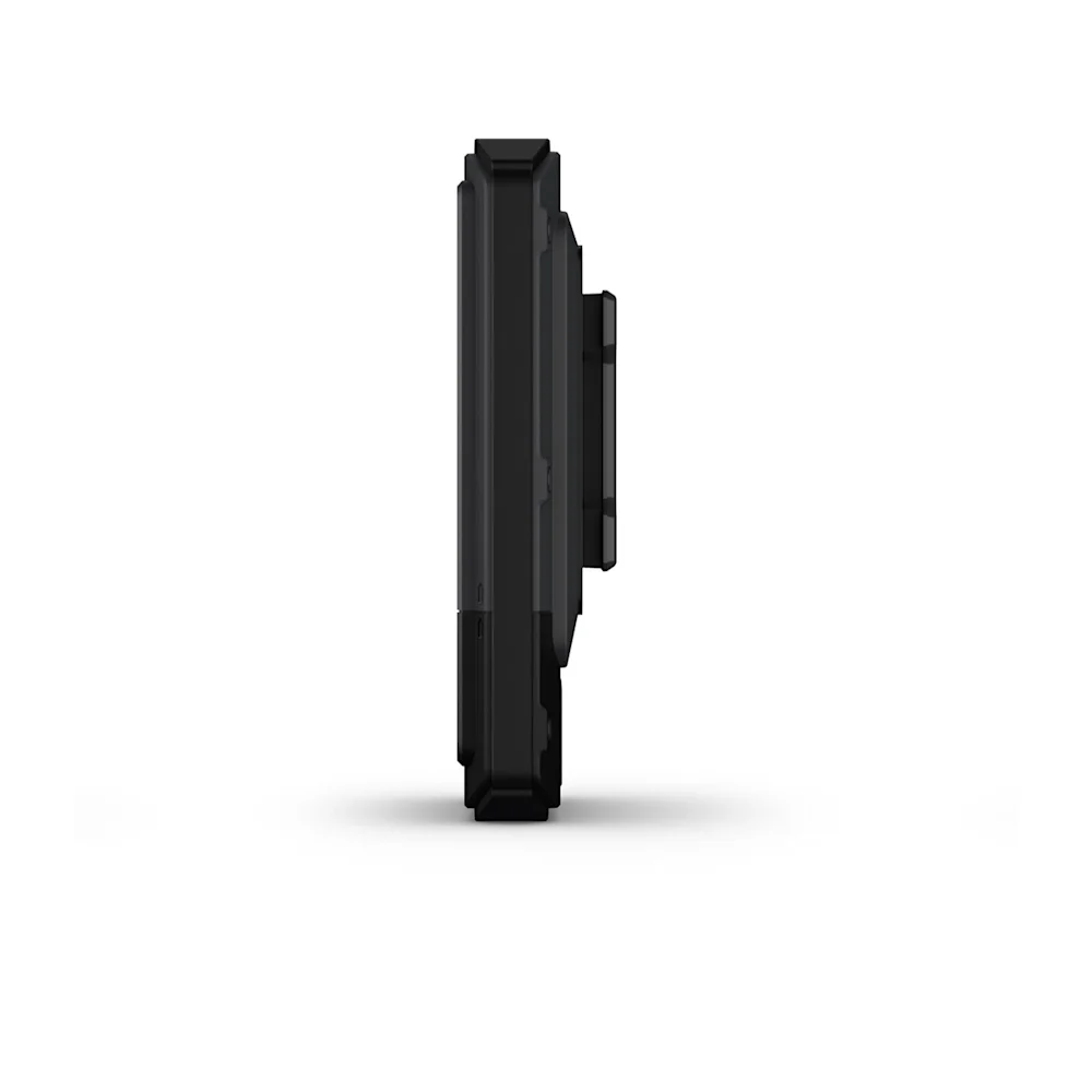
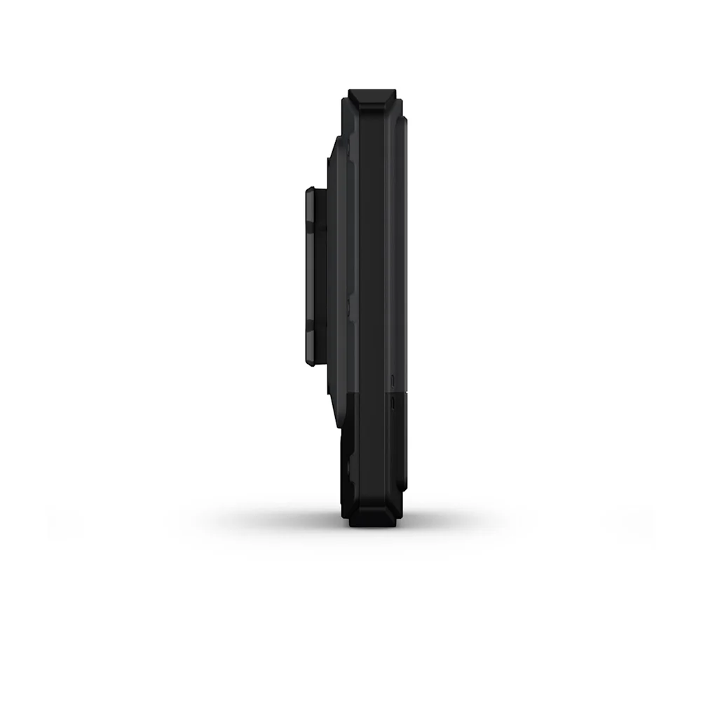
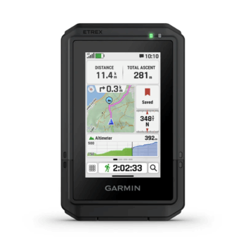
TOUCHSCREEN
The slim, pocket-size handheld navigator features a bright 3-inch high-resolution color touchscreen so you can easily swipe and zoom to follow your route.
RUGGED DESIGN
The eTrex Touch navigator is purpose-built with an IP67 water rating and impact-resistant (MIL-STD-810) design to withstand weather and rugged conditions.
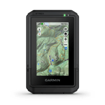
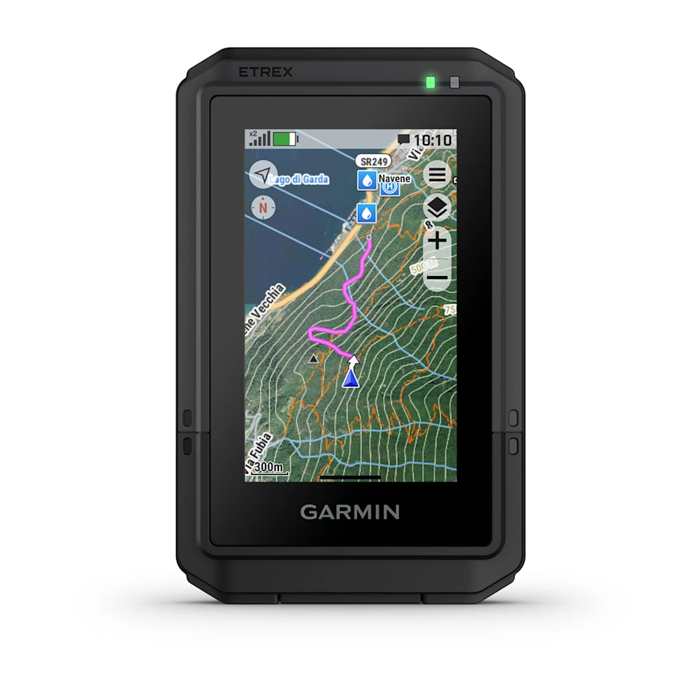
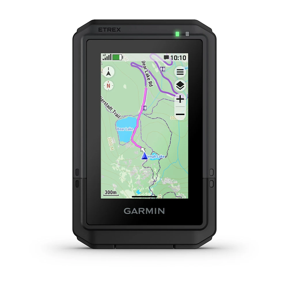
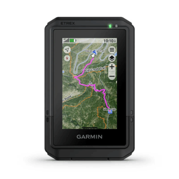
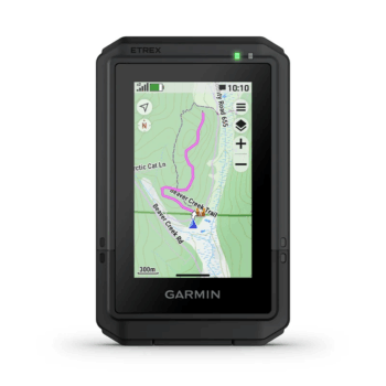
PRELOADED MAPS
View detailed TopoActive maps for roads and trails, and see terrain contours, topographic elevations, summits, parks, rivers, lakes and geographical points plus thousands of points of interest. Plus, get easy access to additional TopoActive mapping around the globe.
OUTDOOR MAPS+
Purchase a subscription to Outdoor Maps+ for ongoing access to a wide variety of premium mapping content, including satellite imagery, campgrounds and more. Download and receive automatic updates via Wi-Fi technology.
PLAN AND REVIEW YOUR TRIP
Connect with the Garmin Explore app to plan and review trip data on your smartphone or tablet and manage your waypoints, courses and activities.
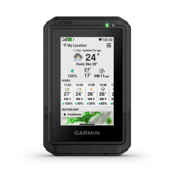
WEATHER
Get real-time forecast information so you are aware of the changing conditions. This feature requires an active internet or Wi-Fi connection, or use of the Garmin Explore app on your paired smartphone.
MORE OUTDOOR FUN. AT YOUR FINGERTIPS.
ADVENTURE FEATURES

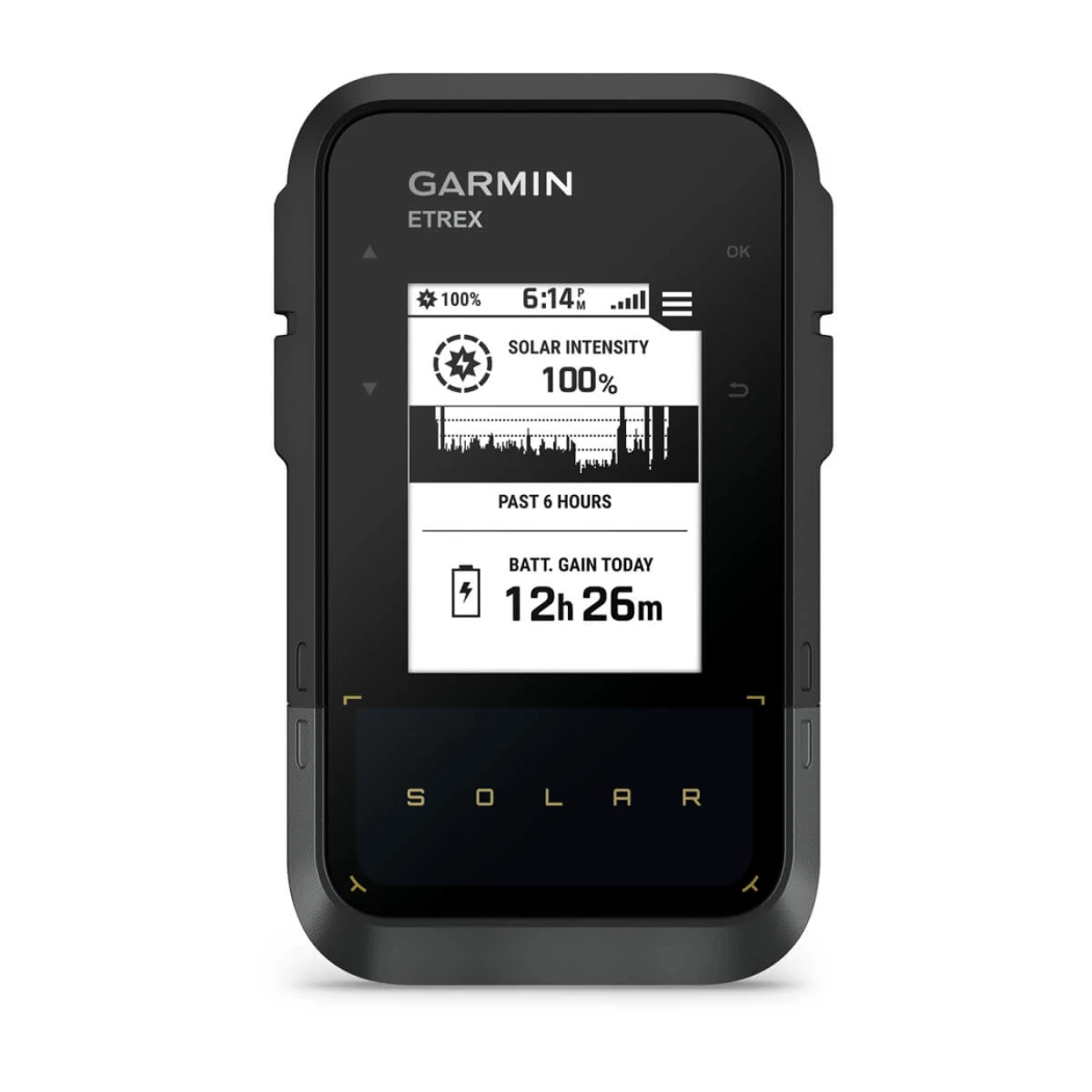
BATTERY LIFE
Get long battery life up to 130 hours in all satellite systems plus multi-band mode, assuming typical use with SatIQ technology; and up to 650 hours in expedition mode.

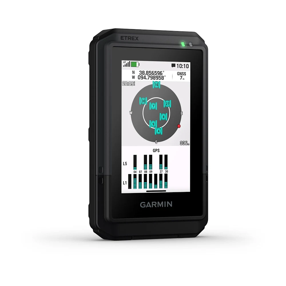
GPS ACCURACY
Know where you are with multi-band GPS and multi-GNSS support, which gives you access to multiple frequencies sent by navigation satellites for superior position accuracy.

FIND NEW DESTINATIONS
Popularity routing helps you navigate the best routes and rides. Round-trip routing allows you to enter a distance you want to travel for route suggestions that will bring you back to where you started.

ASCENT PLANNING
See upcoming climbs on your route, when they will occur and how steep they will be.

DIGITAL COMPASS
Follow your bearing on the digital compass, which provides an accurate heading even when stationary.

GEOCACHING
Get cache updates from Geocaching Live, including descriptions, logs and hints. When connected to the Garmin Explore app on your compatible smartphone, each find will upload to your geocaching.com profile.

GARMIN SHARE
Easily share saved locations and courses with friends’ compatible Garmin devices.

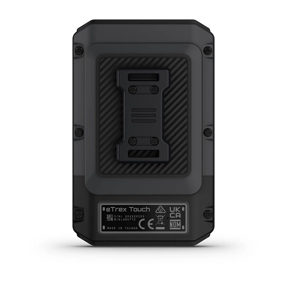
ON THE GO
This device has an integrated Spine Mount 2 and is compatible with additional accessories, sold separately.
USB-C is a registered trademark of USB Implementers Forum.
Engineering enhancements are ongoing and may not be reflected in the pictures, videos and specifications.
Reviews
There are no reviews yet.